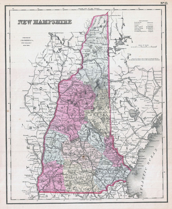
Large detailed old administrative map of New Hampshire state – 1857
Posted by Administrator on 17/07/2015 @ 17:02
Click on the image to increase!
New Hampshire state large detailed old administrative map – 1857. Large detailed old administrative map of New Hampshire state – 1857.
Article printed from Vidiani.com: http://www.vidiani.com
URL to article: http://www.vidiani.com/large-detailed-old-administrative-map-of-new-hampshire-state-1857/
Click here to print.
