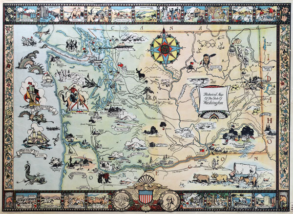
Large scale historical illustrated map of the state of Washington
Posted by Administrator on 19/08/2015 @ 17:42
Click on the image to increase!
Washington state large scale historical illustrated map. Large scale historical illustrated map of the state of Washington (USA).
Article printed from Vidiani.com: http://www.vidiani.com
URL to article: http://www.vidiani.com/large-scale-historical-illustrated-map-of-the-state-of-washington/
Click here to print.
